A Clearer View of Your Site
Mapping & Inspections
Site context and detailed imagery to help your team plan, communicate, and review conditions.
Mapping & Site Intelligence
A shared overhead view of your property or active site, with deliverables selected around your project.
- Orthomosaic maps
- Site overviews
- 3D site models
- Earthwork documentation
Visual & Thermal Inspections
Detailed imagery of roofs, structures, and hard-to-reach areas to support your team’s review.
- Roof imagery
- Industrial coverage
- Thermal imaging
- Infrastructure records
Site Intelligence
3D Models & Mapping
Beyond photos — overhead site views, 3D models, and orthomosaic maps for project planning and visual documentation.
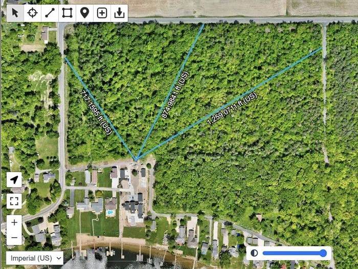
Site Overview + Measurements
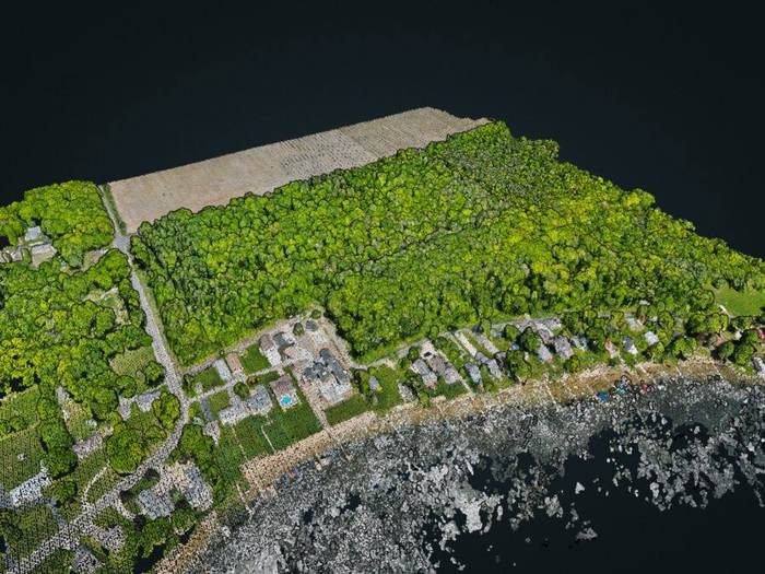
3D Point Cloud Model
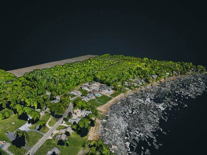
Navigable Site Model
Let’s talk about your project.
Tell us where you’re working and what you need captured.